"Precision in Mapping,
Excellence in Engineering."
Company at a Glance
Our Numbers Tell the Story
Years of Experience
0+
Countries Served
0+
Completed Projects
0+
Expert Team Members
0+
COVERAGE AREA
We have Many Operations in Africa and the Middle East, covering a broad range of industries.
Zone Offshore operates throughout Africa and the Middle East, covering a broad range of industries. The company’s services span several key sectors,
OUR AGENCIES
Geospatial Engineering Services
99.9%
Hydrographic and Marine Surveys
99.9%
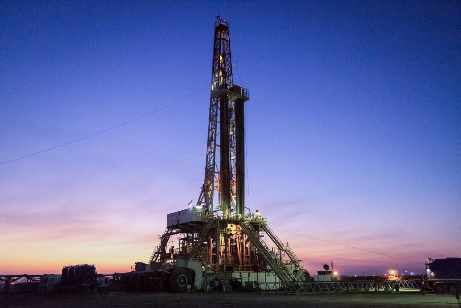
Oil & Gas Sector Services
99.9%
Always take advantage
OUR EXPERIENCE ON THE FIELD MAKE US LEAD.
What We Do
Our Services
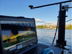
We offer unparalleled expertise and precision across comprehensive survey services, including: Topographic survey, Land Survey, 3D Marine Laser Scanning of Engine Rooms for vessels, Laser Scanning & 3D modeling, Dimensional Control and several kinds of survey work, Hydrographic survey, Underground Detection, and Mobile Mapping System.
Utilizing state-of-the-art technology, we capture accurate 2D&3D data for various applications such as facility management, infrastructure monitoring, and heritage preservation
the process of creating a digital representation or model of real-world objects, environments, or landscapes using specialized software to transform this data into accurate and detailed 3D models.
Geophysical surveys use non-invasive techniques to map subsurface features and identify anomalies, while geotechnical surveys involve drilling and sampling to determine the mechanical properties of soil and rock for engineering design.
With decades of expertise, Zone Survey and Mapping provides unmatched precision in geospatial, hydrographic, and engineering services across Africa and the Middle East. Our solutions are tailored to meet industry standards and client-specific needs, ensuring successful project outcomes every time.
“Our mission at Zone Survey and Mapping is to set the standard in precision and reliability, delivering solutions that empower our clients to achieve their project goals with confidence and efficiency across every sector we serve.”
Extensive Industry Experience
With over 25 years of experience, Zone Survey and Mapping combines deep industry knowledge with advanced technologies, allowing us to deliver reliable and efficient solutions tailored to your project requirements.
Cutting-Edge Technology
Equipped with the latest in data collection and processing technology, including 3D laser scanning, GPS systems, and high-precision hydrographic tools, we ensure accuracy and quality in every service we offer.
Commitment to Quality and Safety
Zone Survey and Mapping adheres to the highest standards of quality and safety, continually investing in the professional development of our team. Our focus on safety and excellence ensures projects are completed with precision and reliability.
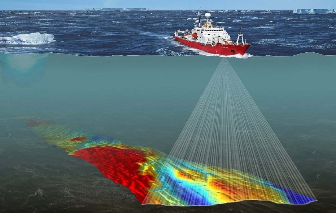
over the seas
Advanced Marine and Hydrographic Solutions
At Zone Survey and Mapping, our expertise extends beneath the waves, where we provide precise and comprehensive marine and hydrographic surveying services. Leveraging state-of-the-art technology, we help our clients navigate the complexities of underwater environments, ensuring successful and safe operations in marine sectors.
Seabed Mapping
Dredging Assessment
Submarine Pipeline Surveying
Harbor and Marina Surveys
Erosion and Silting Monitoring
Bridge and Flood Studies
Testimonial
Best Client Feedback
Lorem ipsum dolor sit amet, consectetur adipiscing elit. Ut elit tellus, luctus nec ullamcorper mattis, pulvinar dapibus leo.
Lorem ipsum dolor sit amet, consectetur adipiscing elit. Ut elit tellus, luctus nec ullamcorper mattis, pulvinar dapibus leo.
Lorem ipsum dolor sit amet, consectetur adipiscing elit. Ut elit tellus, luctus nec ullamcorper mattis, pulvinar dapibus leo.