Eiva
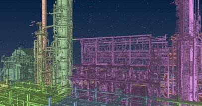
Laser Scanning and Reality modeling
Our Services Delivering highly accurate survey control points using GPS and geodetic levels to support project alignment and stability. From reality to digital precision.We perform

Our Services Delivering highly accurate survey control points using GPS and geodetic levels to support project alignment and stability. From reality to digital precision.We perform

With over Over a Quarter-Century of expertise, Zone Survey and Mapping delivers efficient, high-quality geospatial solutions tailored to meet the unique needs of every project.