Uncategorized
Geophysical & GeoTechnical
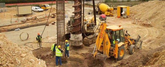
Our Services Ensuring precise well location and site preparation for oil and gas operations with state-of-the-art surveying equipment. Know the ground you build on We

Our Services Ensuring precise well location and site preparation for oil and gas operations with state-of-the-art surveying equipment. Know the ground you build on We
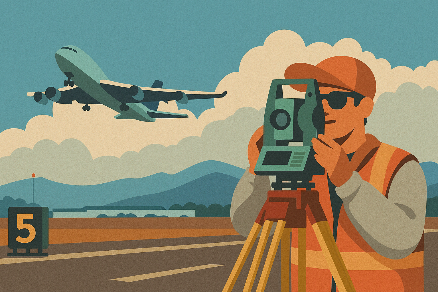
Our Services Conducts runway, taxiway, and obstacle mapping to meet aviation standards and Ensures safe navigation and compliance with regulatory requirements. Engineering for aviation standards
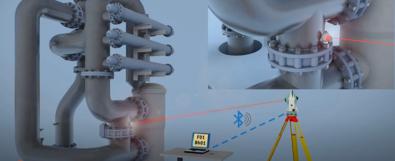
Our Services Delivers millimeter-level precision for industrial plants, marine structures, and shipbuilding. Using laser trackers and 3D scanning to verify installation accuracy and minimize errors.
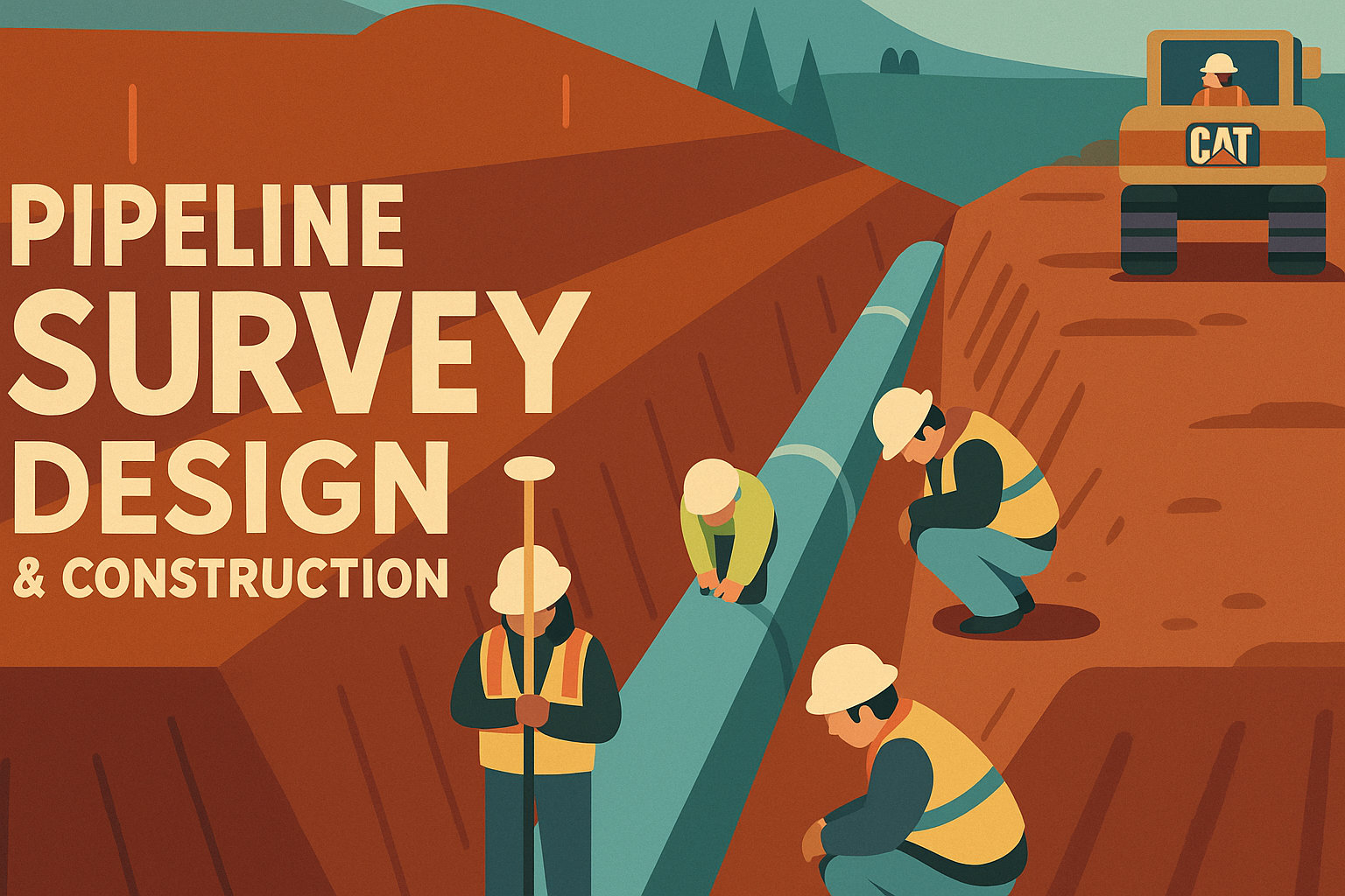
Our Services Provides precise route alignment, terrain profiling, and as-built documentation for pipelines and Ensures compliance, safety, and efficiency throughout the project lifecycle. Surveying energy
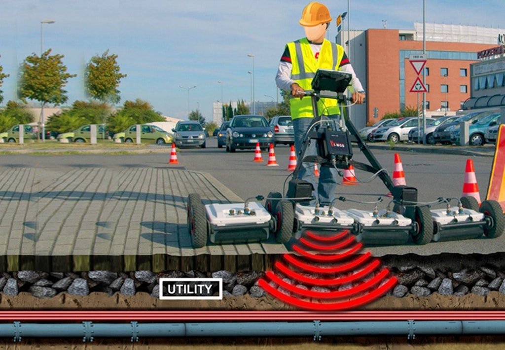
Our Services Mapping underwater environments to support dredging, marine construction, and coastal development. Underground Detection SurveySee through the earth without digging We use:• Ground-penetrating radar
Our Services Detailed surveys for pipeline routes, including location, elevation, and monitoring for maintenance. Beneath the surface lies opportunity We provide detailed bathymetric mapping using:
Our Services Precise layout and monitoring for construction projects, including as-built surveys and topographic mapping. Drone Survey Services Brochure (Text Version) Comprehensive drone survey services
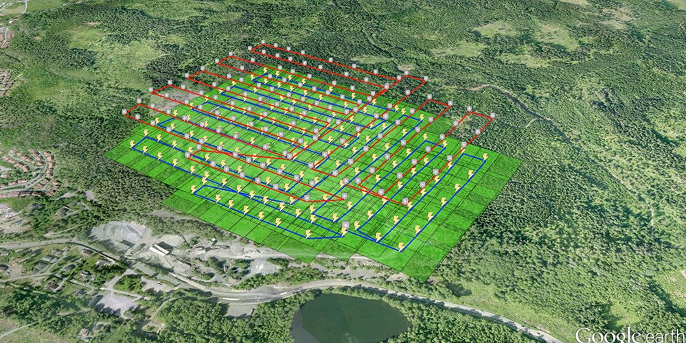
Our Services Collecting, mapping, and analyzing spatial data to support asset management and planning. Shaping the foundation of every project.Using GNSS, total stations, and level