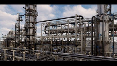
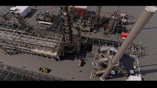
Delivers millimeter-level precision for industrial plants, marine structures, and shipbuilding.Using laser trackers and 3D scanning to verify installation accuracy and minimize errors.
Provides precise route alignment, terrain profiling, and as-built documentation for pipelines and Ensures compliance, safety, and efficiency throughout the project lifecycle.
We are thrilled to present to you a glimpse into our world of surveying excellence and cutting-edge digital transformation. As a leader in the survey field, our commitment to innovation has set us apart, positioning us at the forefront of the industry.
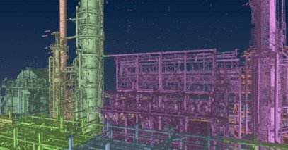
laser scanning :
Utilizing state-of-the-art technology, we capture accurate 2D&3D data for various applications such as facility management, infrastructure monitoring, and heritage preservation
Reality modeling:
the process of creating a digital representation or model of real-world objects, environments, or landscapes using specialized software to transform this data into accurate and detailed 3D models.
Photogrammetry:
the science and technology of making measurements from photographs. It involves extracting geometric information from photographic images to create accurate maps, 3D models, and other spatial data
Our Toolkit
Our Projects
Marine Industry 3D Laser Scanning
We specialize in advanced 3D laser scanning techniques for precise visualization and analysis of vessel engine rooms, ensuring optimal performance and safety.
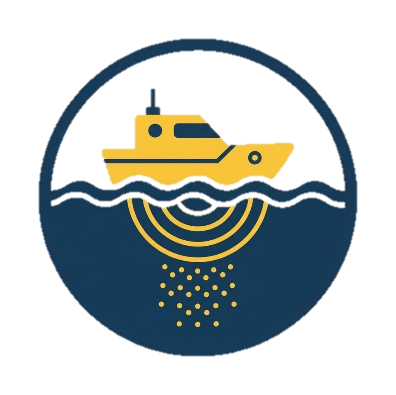
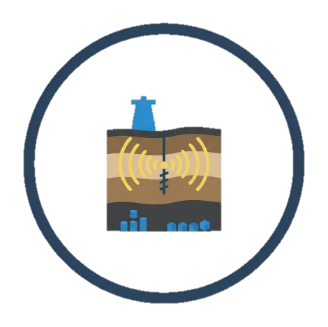
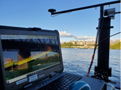
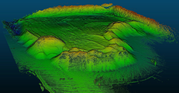
Hydrographic Survey & geophysical Survey
With our advanced hydrographic survey capabilities, we can accurately map underwater environments for marine construction, dredging operations, and environmental assessments. Also we can run from our zodiac : Single beam, Multibeam, Side scan sonar, Magnetometer
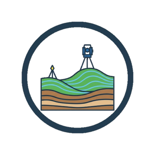
Topographic survey
Experience precision at its finest with our topographic services, delivering detailed maps with contour intervals as tight as 0.1 meters. Utilizing cutting-edge technology, we provide accurate elevation data for informed decision-making in land development and infrastructure projects.
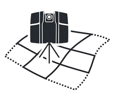
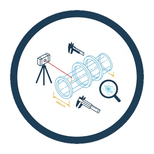
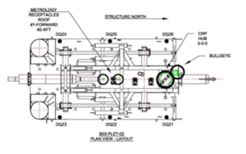
Dimension control
verification of design versus as-built condition in high accuracy routine.
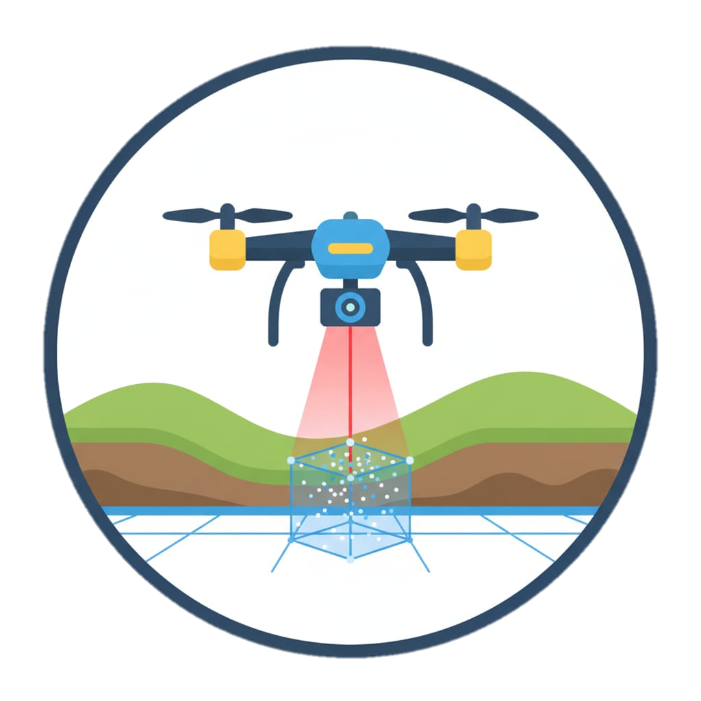
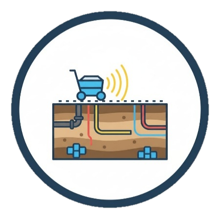
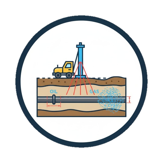
Underground utilities
Zone provides the very best service to locate any utilities through our RD1000 and RD8000 Pipe Locator System from Radio Detection. Also, we can use the GPR when there is a requirement for more detailed geophysical data from our client.
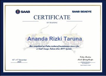
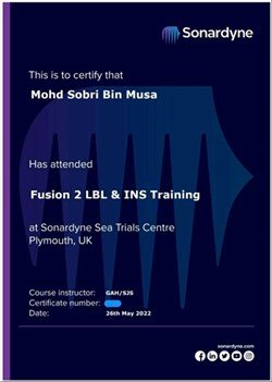
Training Courses
Zone can prepare Training courses with sonaredyne or saab seaeye in UK
Courses:
USBL / LUSBL courses
Mini Ranger 2
Ranger 2
Marksman LUSBL
Marksman DP-INS
CASIUS
1 day technology taster sessions
LBL courses
Fusion 2 (6G+)
Fusion 2 + SPRINT INS (SLAM)
Fusion 1 or Fusion Requalification
Fusion 1 to Fusion 2 Top-up
Fusion 2 Bespoke
Connect metrology
We can bring the training to you - on site or on board a vessel.


