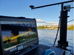
Mapping underwater environments to support dredging, marine construction, and coastal development.
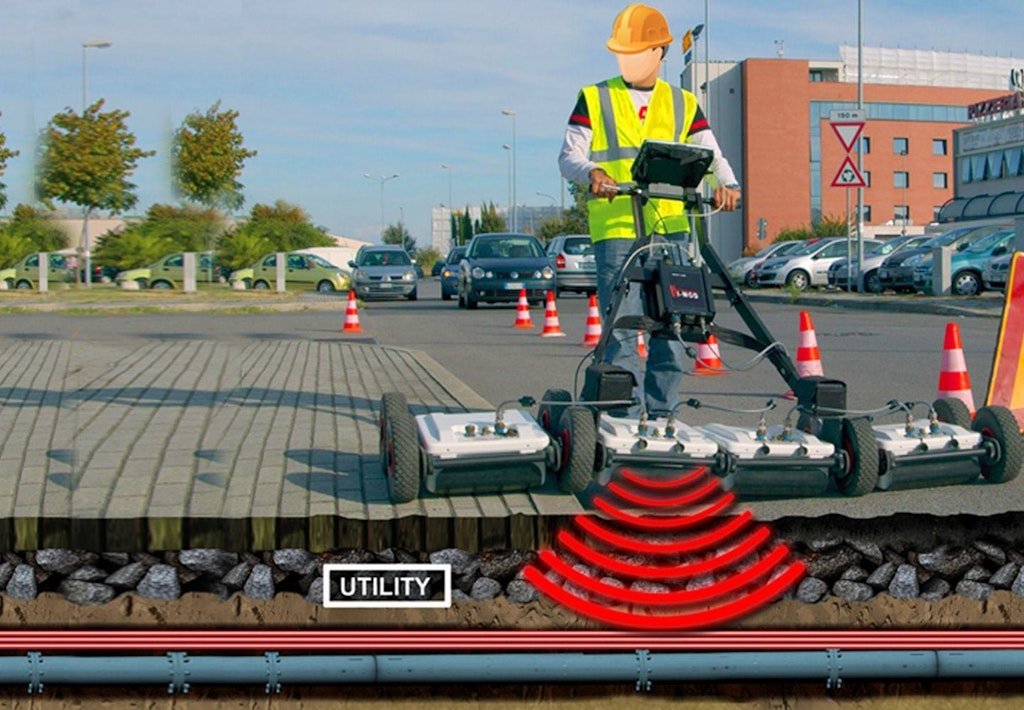
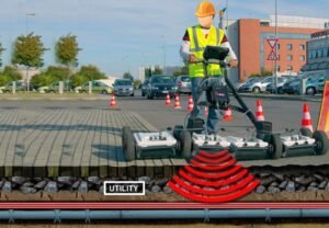
Underground Detection SurveySee through the earth without digging
We use:• Ground-penetrating radar (GPR)• Electromagnetic and resistivity sensors
To detect:• Buried utilities and pipelines• Voids and cavities• Subsurface anomalies
This reduces excavation risk and supports utility mapping and pre-construction investigation.