
Delivering Precision and Innovation Across Geospatial, Marine, and Engineering Solutions.
Established in 1996,By Eng Mostafa Nasser. We are operating through our 4 companies Zone Offshore,Aster Zone Contracting, Aster Zone For Oil & Gas services(UAE), Nasser Trading and Zone Survey and Mapping delivering Marine survey equipments, ROV, in land Rental pool and unparalleled geospatial engineering solutions across Africa and the Middle East. For over two decades, we have been at the forefront of innovation and excellence, catering to a diverse clientele spanning various industry sectors such as:
"At Zone survey and Mapping, we believe that precision and innovation are the foundation of progress. Our commitment is to provide solutions that not only meet industry standards but set new ones."
ZONE SURVEY AND MAPPING
As Egypt’s largest engineering surveyors, we pride ourselves on contributing and playing an active role in the surveying and construction industry. We also know that it’s vital we hold all of the required accreditations, providing assurance to our clients that our working practices and policies meet their expectations. A full list of the organisations with which we hold accreditations and certifications are shown below.
“OHSAS 18001:2007 Certificate (Occupational Health & Safety) | QA Certification Services | GPS Positioning, Topographic, Bathymetric, Land, Hydrographic, and Geophysical Surveying Services | O-EG-ZS-02.17.009 |.”
“ISO 14001:2004 Certificate (Environmental Management) | QA Certification Services | GPS Positioning, Topographic, Bathymetric, Land, Hydrographic, and Geophysical Surveying Services | E-EG-ZS-02.17.008 |.”
“ISO 9001:2015 Certificate (Quality Management System) | OSS Middle East Certification | General, Integrated, and Specialized Contracting, Electromechanical Contracting, Building Maintenance, General Trade, Ship Supply, and Marine Works | 380123A |.”
“ISO 45001:2018 Certificate (Occupational Health & Safety Management System) | OSS Middle East Certification | General, Integrated, and Specialized Contracting, Electromechanical Contracting, Building Maintenance, General Trade, Ship Supply, and Marine Works | 451222C |.”
“ISO 9001:2015 Certificate (Quality Management) | QA Certification Services | GPS Positioning, Topographic, Bathymetric, Land, Hydrographic, and Geophysical Surveying Services | Q-EG-ZS-02.17.045 |.”
“Accredited by the Egyptian Survey Authority (ESA) (First-Class), allowing us to operate on projects nationally and internationally.”
To provide industry-leading geospatial and marine solutions that empower our clients to overcome their greatest challenges and achieve their project goals with confidence and precision.
Deliver Tailored Solutions:
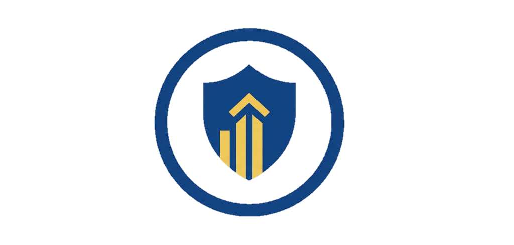
Ensure Excellence in Safety:
Adhere to strict safety standards, safeguarding both our team and the environment.
Drive Innovation:
Continuously adopt the latest technology to enhance service quality and project efficiency.
Build Lasting Client Relationships:
Focus on trust and collaboration to support our clients’ long-term success.
Precision: Utilizing state-of-the-art technology, we guarantee the highest standards of accuracy and detail in all our projects.
Innovation: We continually invest in cutting-edge tools and training to stay at the forefront of geospatial and marine technology.
Commitment to Safety: Our team follows rigorous safety protocols to protect both people and the environment, ensuring safe and efficient project execution.
Client-Centric Approach: We build strong, trusted relationships with clients, tailoring our services to meet their unique goals.
We prioritize our clients’ unique needs, collaborating closely to design tailored solutions that align with their objectives. Our commitment to transparency and partnership ensures projects are completed smoothly, efficiently, and with the highest level of satisfaction.
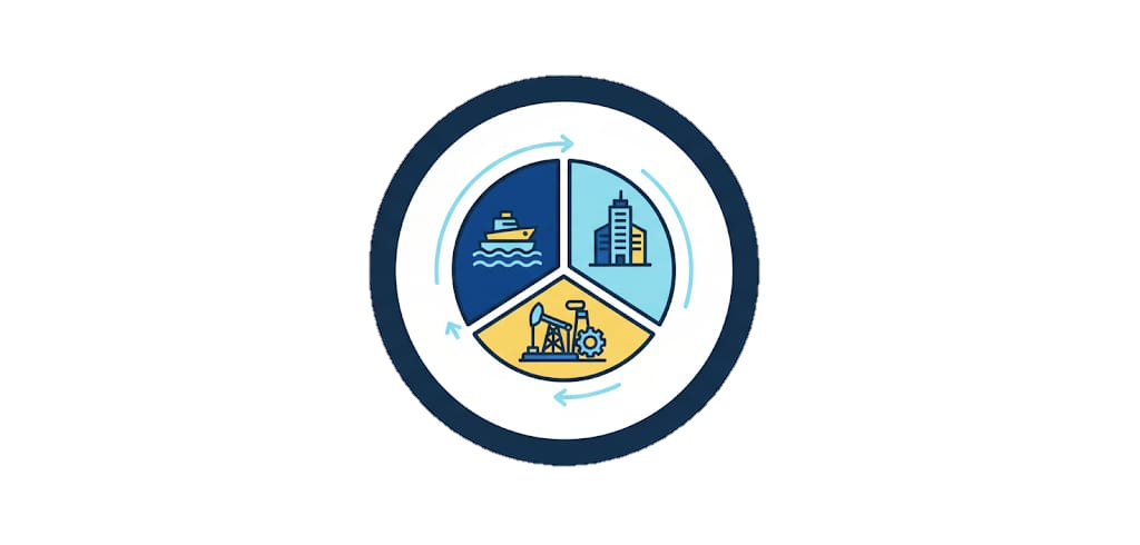
From oil and gas surveying to marine and infrastructure projects, our multi-disciplinary services cover a wide spectrum of industry needs.

Safety is at the core of our operations, with stringent protocols and high standards that ensure both project success and environmental responsibility.
With over 25 years in the industry, Zone Survey and Mapping brings extensive experience and knowledge to every project, ensuring reliable and accurate results.

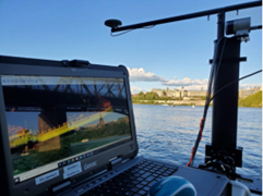
Equipped with cutting-edge tools, including 3D laser scanners, GPS systems, and hydrographic equipment, we deliver precision in even the most challenging environments.

We work closely with clients to develop tailored solutions, building trusted partnerships based on transparency, collaboration, and commitment to their goals.
With over Over a Quarter-Century of expertise, Zone Survey and Mapping delivers efficient, high-quality geospatial solutions tailored to meet the unique needs of every project.