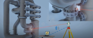
Detailed surveys for pipeline routes, including location, elevation, and monitoring for maintenance.
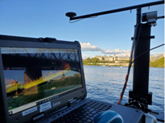
Hydrographic Survey
Beneath the surface lies opportunity
We provide detailed bathymetric mapping using:
Single-beam and multi-beam echo sounders • Side-scan sonar, sub-bottom profilers, and magnetometers
Applications include: • Bathymetric maps for accurate underwater terrain modeling • Underwater imaging for visualizing seabed features and objects • Marine mineral exploration to detect and evaluate seabed resources • River and harbor mapping • Dredging assessment