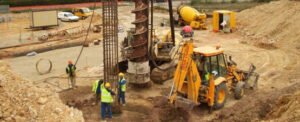
Delivering highly accurate survey control points using GPS and geodetic levels to support project alignment and stability.
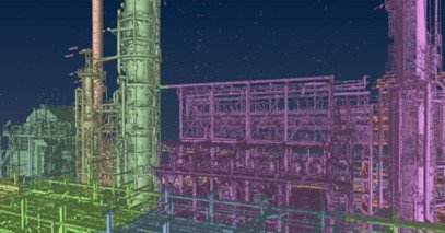
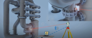
From reality to digital precision.We perform high-resolution 3D terrestrial laser scanning to generate detailed point clouds.
Applications include:• As-built documentation for complex buildings• Industrial facilities (e.g., oil & gas plants)• Heritage preservation for museums and historical landmarks• Precise modeling for factories, vessels, and urban infrastructure
This data seamlessly integrates with BIM workflows for smarter design, clash detection, and renovation planning.
Software Used:• FARO Scene• Trimble RealWorks
Equipment Used:• FARO Focus S70• Trimble laser scanners FX